


|
|
|
|
May-17-2008 |
|
|
The following map represents the seven officially recognized Neighborhood District Associations and the two business and industrial centers of Milwaukie. Click on a neighborhood or select from the list below to view an enhanced map of the actual neighborhood.
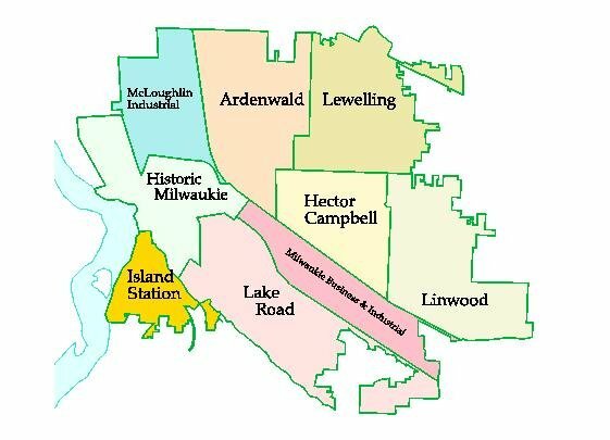
<Ardenwald> <Hector Campbell> <Historic Milwaukie> <Island Station> <Lake Road> <Lewelling> <Linwood>
<McLoughlin Industrial> <Milwaukie Business & Industrial>
| Home | Council | Committees | Community | Departments | Contact Us | Search |